(Day 10 – August 30) The Bridge Close to Monture Creek CG to The Last Llama Lodge

Odometer: 463 – 522 ( 59 miles, 95 kilometers )

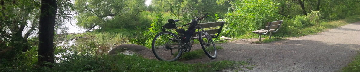
The site at the bridge by the stream was one of the best. Unfortunately Laura and Michelle weren’t here to make comparisons. I would rate it close to the top. I liked it especially because the water was easily accessible and the ground was soft and flat – great for pitching the tent.

I woke a bit before 7. Instead of aiming to have breakfast at the next town (Ovanda) I decided to make Laura’s favorite breakfast – oat meal porridge and trail mix. When I make breakfast it takes a bit longer to get on the road.   But you have to eat sometime. And besides, I have too much food. I plan to get my food down to a minimum so I can carry more water in my Platypus Water Bladder.   I’ve been told that in New Mexico you can’t have enough water. One fellow said he carries 8 litres. The last time he was travelling through New Mexico he had to give some to other cyclists who were short. My experience almost running out yesterday emphasized the need for water. Never mind New Mexico – I could be short in Montana!

When I eventually got on my bike there was a nice descent into Ovanda. I am sorry I didn’t make it the night before. The town was off the main highway but right on the GDMBR. I am guessing that the townspeople lobbied to have the town on the route to attract more business. There were numerous signs saying “Ovanda – OPEN”. Anything to direct travelers for something to eat or a night’s stay.

In spite of welcome signs, because it was morning and I’d had my breakfast and a good night’s sleep I decided to bypass the town and ride along the main highway to save time.

The GDMBR did a number of loops away from the highway. The loops were relatively short leading up into the hills and forested areas. I didn’t see the point really. I liked the speed I could get traveling along the shoulder of the highway. I had my fill of steep ascents, and for now anyway, I had my fill of the wilderness scenery.

I arrived in Lincoln about 12:30pm, had lunch and wrote a bit of my blog.   The sun was hot and I was hot. From noon ’til a little after 3pm is my least favorite time to ride.

It was about 2:30pm before I started going again. There was a bit of cloud cover, which helped, but it was still pretty hot for my liking.

The GDMBR takes a route by way of a gravel road pass through the mountains.   From Lincoln the road was easy but it became steeper and steeper. There were long stretches – perhaps about a mile or more that I gave up riding in first gear and walked. The ascent was unrelenting.

The ascent crested about 4:30pm and I began a long descent.   Unfortunately the road was very poor and I had to brake much of the way.   Some motorcycles passed me during my descent which made things even more intense.

Just as the road was beginning to improve to where I could take advantage of the energy built up in my earlier climb I got a flat tire. After giving up trying to find the leak I reluctantly put on my spare inner tube.  It took the better part of an hour to get going again.

Not long after, while still on a descent, the forested area gave way to a unique area of hills with pastures.  Because it was late and I was tired and frustrated I  stopped at The Lost Llama ‎Lodge in a gorgeous valley. Barbara, who owned the property with her husband John, belonged to the Warm Showers organization and provided everything free of charge – water, snacks, beer (yes even beer). And I didn’t have to worry about bears.

I was able to relax. I fixed my punctured inner tube and caught up on my blog while sitting on the porch of the old log cabin.


(Day 9 – August 29) Past Point Pleasant Campground to The Bridge Close to Monture Creek CG

Odometer: 383 – 463 ( 80 miles, 129 kilometers)

I woke up around 7am. I did the normal site cleanup. It always seems to take longer than I figure; stuff my night shorts and t-shirt with my sleeping pad, deflate and roll up my sleeping pad and pillow, take down and roll up the tent, take down the bear bag from a near-by tree, and load everything on the bike panniers and rollers. It all takes about an hour and I was on the bike a little past 8.

I didn’t make my porridge. Instead I hoped to find somewhere to have some breakfast down the highway. Any place will do for breakfast. There is not much you can do to wreck breakfast unless you order lots of meat.

I was lucky to find a small roadside cafe that did the trick. I was the only patron since by this time it was mid-morning.‎ I ordered a vegetarian omelet, toast, fried potatoes and three french toasts. Yum.

The GDMBR turned off the main road and I rode mostly off-road in Flathead National Forest for most of the day. There were lots of ascents and descents. A few times I walked for a break from the long hard climbs in first gear. The scenery was great. There hasn’t been much rain and the fire hazard is on high. I could tell because the streams were dried up.   I was becoming anxious as creek after creak was nothing but rocks and I needed water.

At 2:30pm after a long ascent I found a small stream running through thick moss. I finally filled my water bottles with the cold stream water and was on my way.

I arrived in the town of Seeley after a long descent, fast without a lot of rough ground. It was there I discovered I had left my water bottles by the stream.

The thought briefly crossed my mind to return to the stream to retrieve them but the ascent dissuaded me.   I resorted to finding poor replacements at the hardware store.

I had supper at a road side food joint (potato salad and pulled pork sandwich). I managed to fill my new water bottles. I debated about staying in town for the night since it was 6pm. However I am reminded daily that the evening is the most enjoyable time to ride after the afternoon heat.

So I decided to press on the next town (Ovanda or something). I turned on my lights in anticipation of night riding through what was now called Lolo National Forest and set off. About 10 miles short of Monture Campground clouds rolled in behind me accompanied with thunder and lightening.   I decided to set up my tent in the darkness just as it was starting to rain about 8:30pm.

At bedtime I also discovered I had misplaced my toque. The toque keeps my head warm when the night gets cold (needed when you don’t have a lot of hair).


(Day 8 – August 28) Whitefish Bike Retreat to Just Past Point Pleasant Campground

Odometer: 308 – 383  ( 75 miles,  121 kilometers)

I packed up and said goodbye to Laura and Michelle. I left the retreat at 10:20am and cycled along the familiar highway back to Whitefish.

After you pass through Whitefish there are paved bike trails for a short distance before the main trail follows scenic paved country roads.

South of Whitefish toward Columbia there were plains with expansive open fields and slight rolling hills interspersed with clusters of spruce and pine reminiscent of the BC interior, surrounded by distant mountains. If the mountains were removed it might look like the area around Peterborough Ontario.

The roads south of Whitefish along the GDMBR were a mix of gravel and asphalt, almost deserted and either planned in a grid or winding to make way for streams and hills.

I reached Ferndale by about 3 and chose to take the main highway because it afforded more services and stops.   I had supper, hamburger and beers, at a restaurant/bar about 4:30pm.

The restaurant was empty which worried me. It was looked after by a waitress, who was also the cook. I didn’t see whether she washed the dishes too but she seemed to be the only one there. I asked whether a lots of people stopped by. She assured me that the restaurant was full at lunch.  She told me that everything on the menu was good and I told her she was paid to say that. Then I asked about whether there were any reports of bears in the area. She said that the bears were still in the mountains eating huckleberries and I wondered if she was paid to say that too.

I was told by someone else in town that there was a nice camp spot called Point Pleasant 7.1 miles further. “Be careful,” they said. “The signs aren’t very clear.”

I got on my bike and rode 7.1 miles further. There happened to be a road with some signs but nothing saying “Point Pleasant”. After three more miles I figured I had missed it and so I stopped for the night at a deserted logging road just off the highway.