Day 55 – Grand Falls WIndsor, Newfoundland (Wednesday, July 1, 2015)
In Newfoundland things are labelled differently than elsewhere. I kept seeing signs labeling bodies of water as large as several kilometers long “ponds”. It puzzled me so much I had to be sure of the definition. “Pond – a small body of water formed naturally or by hollowing or embanking”
Similarly any river or stream, regardless of the size are labeled “brooks”.
So lakes are called ponds and rivers are brooks in Newfoundland. I think there are some rivers that are called “rivers” but I suggest that is only because of pressure from mainlanders. Maybe Cook, in some old English style understated rivers and lakes in his maps.
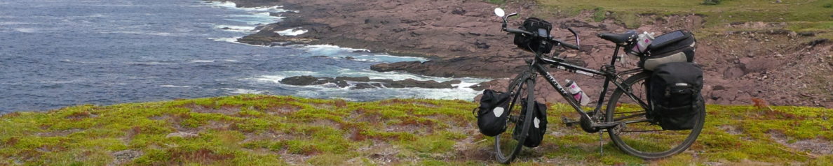
I traveled 212 plus km from Deer Lake to Great Falls Windsor today. Actually South Brook was my original destination. The problem was that I wanted to make the 300km trip to Gander in two days and there were no towns splitting the distance up nicely.
I decided to first aim for South Brook which was only 128 km and decide then whether to go further. The day, with a temperature in the low 20s, mostly cloudy, and a south west wind turned out ideal for riding. Making good time I had lunch by noon at a road side restaurant at about the 100 km mark. At the restaurant the waitress told me the only town between South Brook and Grand Falls was Badger where someone nice may let me sleep on their lawn.
South Brook is located north east of Deer Lake along the Transcanada highway. Just before the town the highway takes a sharp bend south east skirting the edge of a ‘Pond’. I reasoned that if there wasn’t too much head wind I would proceed to Grand Falls. As I rounded the bend I discovered that the wind had shifted in my favour so I proceeded to Grand Falls.
I generally made good time into Grand Falls only slowing in the last 20km as the road turned more directly into the wind.
Signage in Newfoundland is generally quite poor. Where in most cities or towns frequent distance-to-town signs are standard there were none in the approach to Grand Falls. To confuse things several kilometers away there are a array of signs indicating what is available at each exit. “MacDonald’s take exit 13″,”Such and such a place take exit 15”, etc. Well it’s not like I have a pen and paper on my bike!
Then as I was rounding a corner and beginning to wonder if Grand Falls was a real place… whammo “Exit 13” Main Street.I tried hard to remember the content of the array of signs “what was down Exit 13 again?”. oh – the heck with it. “How big can Grand Falls be after all? How can I go wrong with ‘Main Street’? After all MacDonald’s is on the exit sign” So I exit down Exit 13 with confidence. As I proceed one motorist honks. I look around and seeing nothing out of the ordinary. I continue. After 2 1/2 km the road ends with a chain link fence. I am not happy! I am tired, I don’t like being tricked and I absolutely hate retracing my route.
I worked my way back to the highway and checked my GPS to be sure that the next exit leads to downtown Grand Falls. A number of restaurants and inns were marked in downtown. I could take my pick. Well the next exit “Lincoln Road” took me downtown where I rode around for 20 minutes looking for the restaurants marked on my GPS to no avail. Eventually in frustration I asked some friendly people who pointed me to the only restaurant/inn they knew – on the highway bend further than the exit that I had chosen.
So I eventually arrived at Peyton Inn on the TransCanada highway a mile or more from the heart of Grand Falls. I had my supper, which wasn’t bad as I recall, and hit the hay. It could have been anywhere, on any highway really.

